 |
| Craters of the Moon in the afternoon |
Craters of the Moon of the Moon National Momunent delivered an unexpected greeting.
“Did you hear about Tom Hanks?”
I nearly asked the park ranger if the actor died, but just shook my head instead.
“He’s here, camping with his family. They checked in earlier.”
I was gladder to hear they were not location scouting Craters of the Moon for Joe Versus the Volcano 2. No one wants that nostalgia, but Craters of the Moon would have made a perfect backdrop.
I never spotted the famous actor but would have been more pleased to see a sage grouse in the wild. No offense to Tom Hanks, but this is Idaho. I wanted wilderness.
Of course, I saw very few people due to keeping irregular hours during my visit. Craters of the Moon is massive, covering more 1,100 square miles across central Idaho.
Roads and development in this part of Idaho are driven by the monument, as were trails used by Native tribes and later pioneers. Volcanic patches run east almost to Idaho Falls and south to Minidoka. Much of the monument is wilderness, and the core monument revolves around a loop road that passes some of its volcanic features.
Craters delivers Hawaii-esque geography in the middle of Idaho. That peculiarity led to its protection by President Calvin Coolidge in 1924. Future presidents enlarged it considerably and full national park status has been considered.

Volcanic activity ceased several millennia ago, but Native tribes would have witnessed some of that activity. I camped in Arco, best known as the first town to receive its electricity from atomic power and for Numbers Hill, the cliff above town where each high school class paints its number.
I questioned this spot as storm after storm rolled in after the evening. At several points I had to hold my tent firmly to keep it from blowing away.
Since I was already tired when I reach the Craters visitor center in late afternoon, I chose to come back in the morning, when I could enjoy sunrise and fewer people. I guess I would have it to myself.
I arrived as the faintest life crept on the eastern horizon. Aside from birdsong, the monument was dead quiet.
From a distance, Craters appears desolate. Closer inspection reveals that life has a stronghold in the lava field.
Along with birds and insects, plant life is everywhere, provided you look hard enough. Rare volcanic features sit around every corner. These features come from different eruptions separated by millennia. A lava flow from the end of the volcanic activity might have swept across features formed at the field’s earliest stages.
 |
| Cinder crags |
 |
| Full moon over the North Crater walk |
 |
| North Crate boardwalk in the dawn. |
Walking the North Crater boardwalk felt slightly spooky as little light reached me at this point. I could count on white flowers of syringa, which grows up through the lava fields, and the cinder crags serving as a landmark. The crags are cinder cone remnants that were pushed by the North Crater flow to where they stand today.
I arrived following a rainy spell. Precipitation sent Craters’ plant life into bloom and growth mode. Fresh flowers grew from divots where water could collect. From the North Crater walk to Devil’s Orchard (which had a few groves of taller trees) to the lava tubes area, flora did quite well in the desolation.

 |
| Devil's Orchard views |
Dead trees were also common, with lack of water the likely culprit. Craters gets 16-20 inches a year, but much of it ends up elsewhere due to lava tubes and crevasses, some running as deep as 800 feet.
The loop road crossed into the park’s higher elevations. The flanks of several cinder cones were dotted with thousands of pinkish-white flowers. I marveled at the way the small plants produced a big presence in seemingly inhospitable soil. The sun broke above the distant peaks.
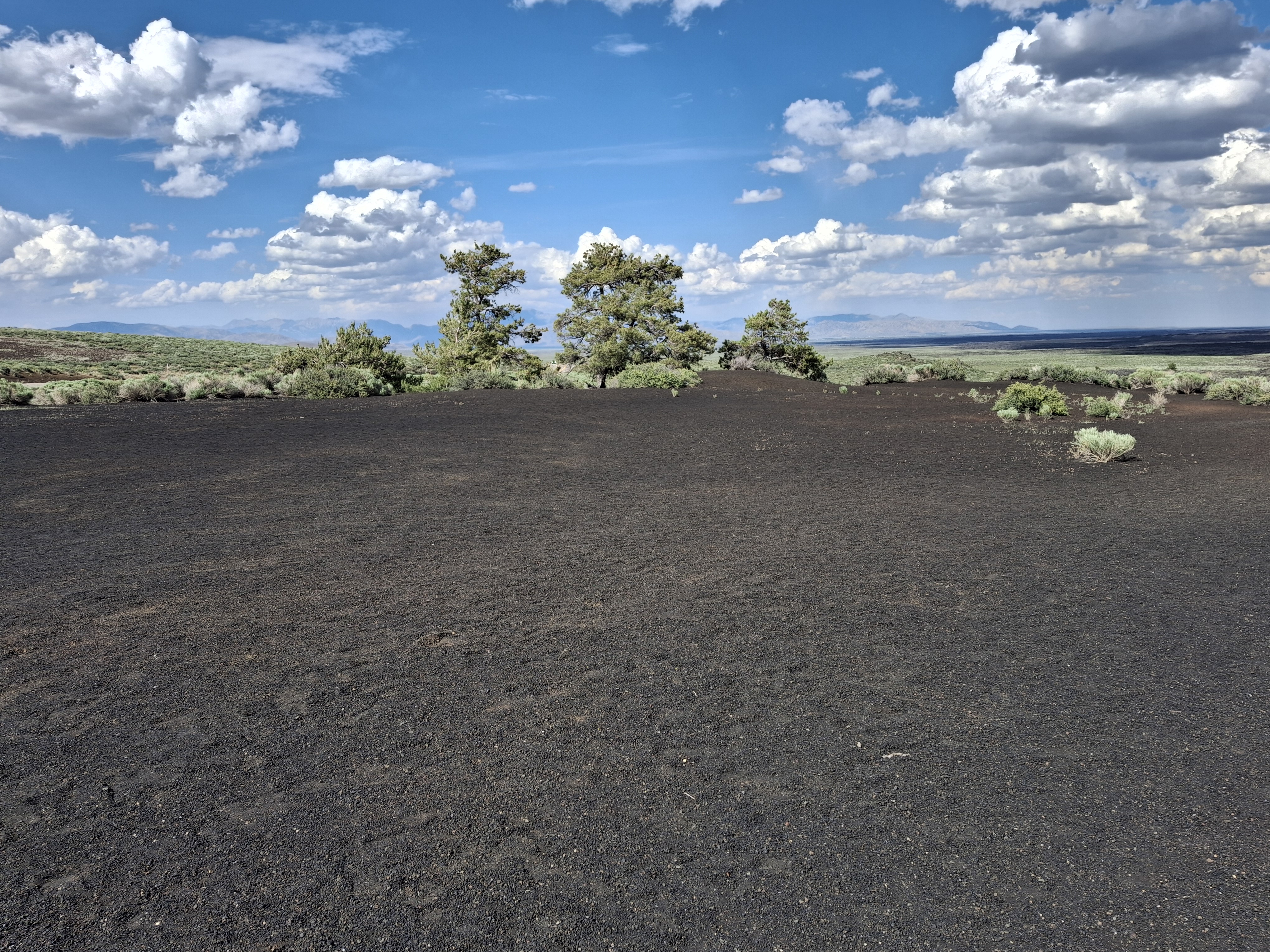
At the Inferno Cone lookout, proceeding up the barely visible trail in the black soil was the only choice. Besides, in 0.2 miles, what could go wrong? That short distance includes a false summit that makes the hike look simpler.
The steepness was not a huge challenge but definitely made me feel my legs. I knew the top came when the signature black soil reached a few small trees. I watched and listened while a few cars sped along the auto route several hundred feet below. I was a little euphoric after returning from the Inferno Cone summit. While not a major hiking accomplishment, sometimes the solo views stick with me best.
 |
| Inferno Cone |
 |
| Top of Inferno Cone. |
 |
| View from the top. |
 |
| Fool on the hill. |
Around the corner came another new favorite - smatter cones, little volcanoes formed as lava globs together through various eruptions. They are not tall, but often have vents that run deep as those near Inferno Cone do. Snow Cone was the most dramatic, not for the cone, but its bottom. As advertised, it was filled with icy snow due to sunlight never reaching the little ice cap.
I counted one cyclist, one man walking on the narrow road, four cars, and no Tom Hanks. Each car seemed to take a buzz through the loop road then head back to the highway. National Park unit tend to draw crowds, and I stand by my strategy of arriving early. Places like Craters of the Moon tend to speak a lot louder when human distractions are minimal.
With Craters still mostly quiet, I reached the monument’s campground and entrance, motoring on while still overwhelmed by this rare volcanic wonderland.
 |
| You guessed it, Snow Cone. |
 |
| More unexpected blooms. |
 |
| Lava field glances. |
No comments:
Post a Comment