 |
| Restored barracks at Fort Laramie |
 |
| Barracks interior |
To get to one state capitol, I blasted through another, avoiding its grueling rush-hour. North of Denver, the land flattened, all smells condensed into cow pies and the overcast dawn revealed some excellent pastel hues to the east. I even missed the Wyoming welcome sign due to cars parked on the pullout in front to take selfies with the state’s cowboy logo.
Cheyenne coasted in a few miles later. I walked the state capitol grounds, quiet on a Friday morning. In the 11 years since that last morning, not much had changed. Cheyenne still shined like most The pastels sank into the overcast morning. Still imposing, the state capitol turned drab in this muted light.
 |
| The rising sun turns it into a different building |
Every move beyond Cheyenne was new, and north of Cheyenne lies nothing but open of pale grasses, craggy buttes and long stretches of no services. I shouldn’t leave out Chugwater, even if I didn’t stop, because who can forget the name?
The close I drew to the North Platte, the greener the land became. At the town of Fort Laramie, the state’s oldest Western settlement, the Laramie River enters the North Platte. A series of buildings at the confluence just outside of town relate the town’s deeper importance to westward expansion and the Indian wars that followed.
 |
| Fort Laramie locals |
The fort was both trading post and refuge for wagon trails headed California, Utah and Oregon Territory. The place lives on most prominently in two treaties, the first establishing territories that would cause conflicts among the tribes, the second to end Red Cloud's War. Basic knowledge about Indian treaties lets you know how they would unfold for the tribes.
 |
| Random fort buildings |

Since I had plans involving Pine Ridge, I wanted to see this place on the way north, the place where a succession of treaties carved up the Indians’ lands to where they held nothing but badlands and a grounds unfit for large-scale farming.
Red Cloud’s War resulted in the second Fort Laramie Treaty, which established the Great Sioux Reservation most of present-day South Dakota west of the Missouri River, including the Black Hills. Just a few years would pass before white prospectors found gold in the Black Hills and a new round of conflict broke out, leaving the tribes with their lands greatly reduced. That ugly episode that effectively closed the western frontier still reverberates today – you can hear it in the voice of any Oglala Lakota describing their reservation and the land forcibly taken from them.
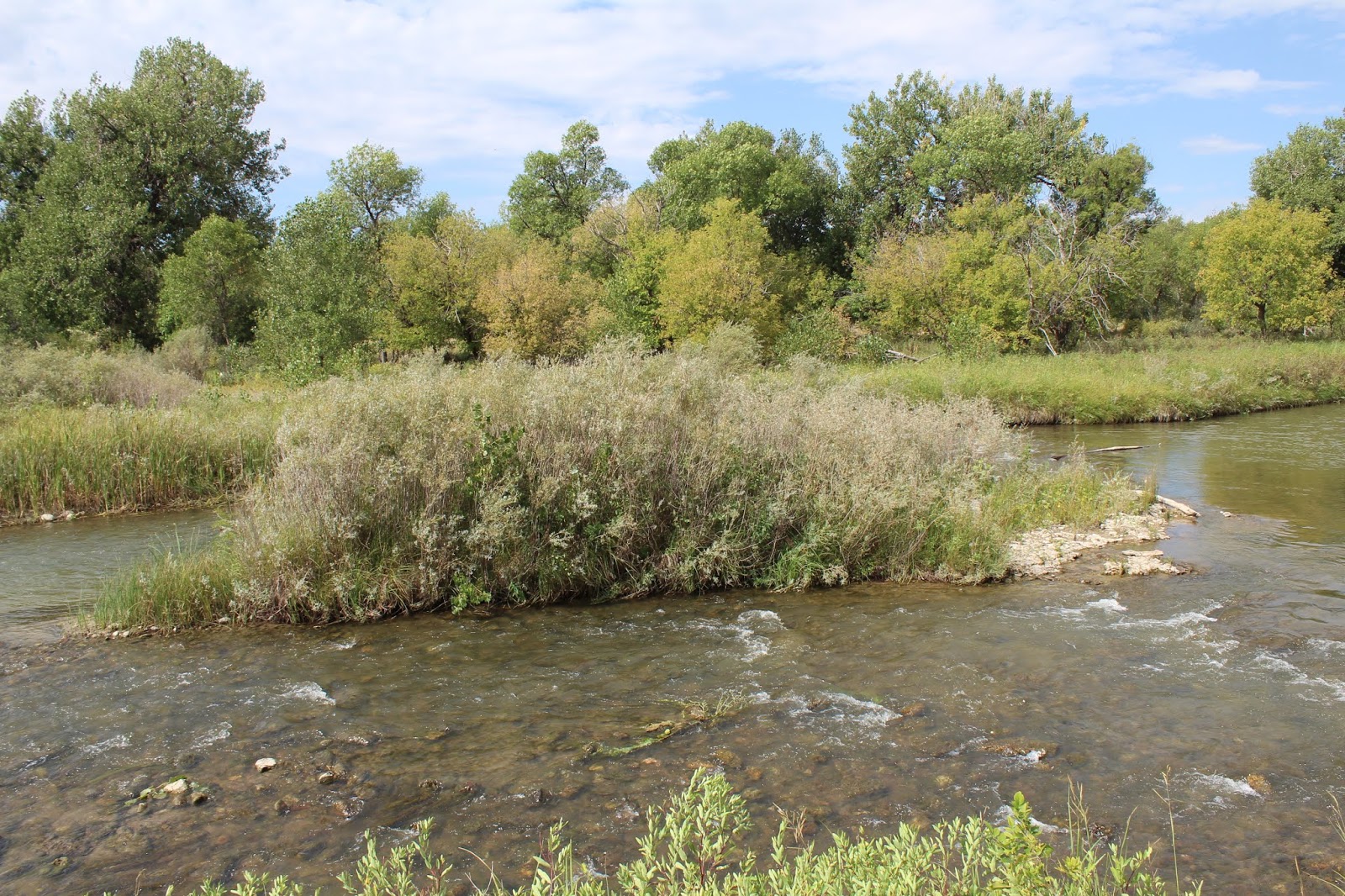 |
| Quiet spot on the Laramie River |
 |
| Army bridge circa 1875 |
A tour bus rolled into the lot and dozens of seniors spilled out. I took a last look at Fort Laramie, aside from a brief stop to a Army bridge built in 1875 over a more rushing North Platte.
Another turn brought another break from towns until I hit Lusk. In Wyoming, 1,500 people is practically a metropolitan area. Lusk is also county seat of the least-populous state’s least-populous county (nearby Van Tassell is the least-populous town in the least-populous county in the least-populous state). Lusk spans enough blocks to include a variety of hotels and restaurants. A wrong turn put me in front of Rough N’ Refined, home to a delicious breakfast and lunch items. A veggie breakfast wrap would hold me the rest of the way.
One last Wyoming turn at Mule Creek Junction and the Black Hills rose to the east. Part of their name was correct; distance cast the mountains in black due to thick pine forests. But hills seems faint praise – these are mountains, rugged and unlike any other range I had traversed. The Black Hills are also the only mountains for hundreds of miles to the west and greater distances to the east.
From Edgemont and Hot Springs, I cut to the east side of the Black Hills; the range isn't especially wide here. Driving north, I could spot the tallest peaks in the range’s interior. Every crossroad pointed to a national park, state park or landmark worth a detour. I met my parents, who had driven from Sioux Falls and only stopped at the Mitchell Corn Palace.
Similar to Grand Junction, a regional hub with a downtown of older two-story buildings and suburban sprawling fanning out to the north. The Black Hills rose from the southern edge of town.
 Among those older buildings downtown was Firehouse Brewing Company, South Dakota’s oldest craft brewery that occupies an early 20th firehouse on Main Street.
I followed this brewery for almost a decade, when it was a planned stop on a Black Hills overnight stop that didn’t happen. I watched their beers evolve and sighed at their events.
Among those older buildings downtown was Firehouse Brewing Company, South Dakota’s oldest craft brewery that occupies an early 20th firehouse on Main Street.
I followed this brewery for almost a decade, when it was a planned stop on a Black Hills overnight stop that didn’t happen. I watched their beers evolve and sighed at their events.Suddenly we were there, its walls and ceilings decorated with decades of firefighting paraphernalia. The brews were tasty, and I couldn’t skip a bison burger on my first night in the Black Hills, not after all the former bison grazing grounds I crossed to reach Rapid City.
No comments:
Post a Comment